
Draw the footprint of my building
After creating a venue, you can draw the footprint of your buildings, to then associate one or more levels with them.
🏣 Drawing the footprint of a building
- Access your venue
- Add a building by clicking on "+"

- Enter a name for the building
- Draw the footprint of the building on the map (= ground surface occupied by the building):
-
Click on the icon representing dots and lines on the map
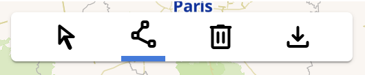
- Position yourself on the map and trace the outline of the building:
- Click once on the map to place the first point
- Then draw as many lines as desired to draw your polygon: click each time a line changes direction / at each corner
- Double-click on your last point to validate your polygon
- Click on "Add a building" (the button has become clickable)

📌 Note:
Draw as many footprints as there are buildings so that you can then add floors inside each building independently.
Example: if you have an area with 3 buildings, draw 1 footprint per building (3 in total) and not 1 overall footprint containing the 3 buildings. It will then be possible to add a different number of levels for each of them.
Once drawn, you can:
- Edit the building footprint to modify it: by returning to the venue, click on your drawing to modify the footprint
- Delete the drawn footprint: click on the "Trash" icon
- Export the footprint in GeoJSON: click on the "Export" icon
⚠️ Warning:
This is the building footprint but the building will not be visible on your map.