
Add a level to my building
Have you drawn your building footprint from the venue editor?
You can now associate as many levels as needed.
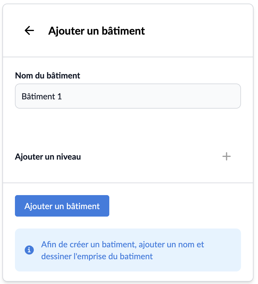
🪜 Add a level
- Click on "+" to add a level
- Select the addition method:
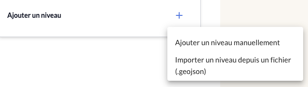
-
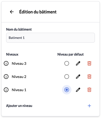
Specify a default level to configure the level you will automatically be on when accessing the building from your map
Ex: your building consists of levels 0 / 1 / 2 and you specify "1" as the default level. If you click on your building, you will access level 1 and see all objects / geofeatures associated with it. You can then click on 0 or 2 in the switcher button to access the other levels.
- Click on "Add a level" (the button has become clickable)
💡 Tips:
- You can modify the drawn level, the name and value of the level by clicking on the pencil icon, then double-clicking on the drawing.
- You can also delete by clicking on the associated icon.
Once buildings and levels are added, you can draw / import objects to associate POIs with your map.